
13 juillet 2021

A summer in the great outdoors with Québec’s accessible and partially accessible trails
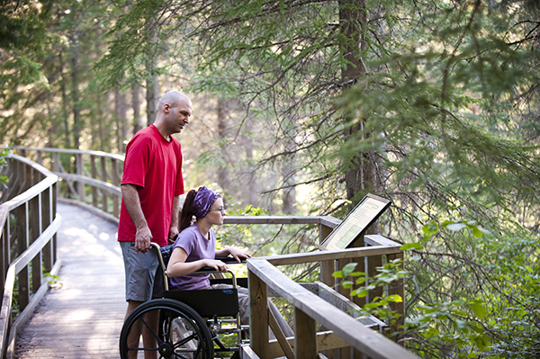
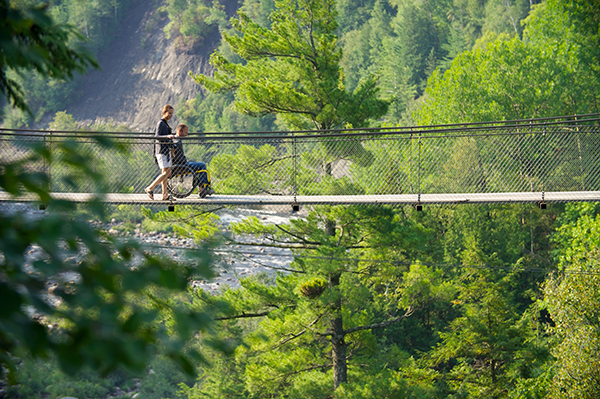
For a summer outdoors, what could be better than to explore the parks and trails? To help you plan your outings, we have compiled a list of accessible and partially accessible trails evaluated by Kéroul in recent years.
Of course, the province has much more to offer and we will undoubtedly need to write another article on the subject, but this first one will surely give you the desire to discover the great outdoors of Québec.
Note that for the trails deemed partially accessible, people in manual wheelchairs will require assistance on part of the route. However, those trails may be accessible for a person using a motorized wheelchair.
Have a great summer outdoors!
Abitibi-Temiscamingue
Parc national d’Aiguebelle: La Castorière – 800 meters
Bas-Saint-Laurent
Parc national du Bic: Chemin du Nord – 4 km
Parc national du Lac-Témiscouata: Jardin des mémoires – 600 meters
Eastern Townships
Centre d’interprétation de la nature du lac Boivin: Several trails from 900 meters to 1.6 km – map
Marais de la Rivière aux Cerises: Several trails from 600 meters to 2 km – map
Parc national du Mont-Orford: Boucle des Trois Étangs – 5.5 km
Centre-du-Québec
Parc du Réservoir Beaudet: 5.2 km of trails
⚠️ Construction in 2021-2022
Laurentians
Parc Eco Laurentides: Le riverain – 700 meters
Parc national d’Oka: Several trails, including the 1.3 km Érablière

Parc régional éducatif du Bois-de-Belle-Rivière: Several trails from 600 meters to 6 km – map
Parc régional de Val-David–Val-Morin, Far Hills area: Family trail – 3 km
Laval
Centre de la Nature de Laval: Unnamed trail – 5 km
Bois de l’Équerre: Accessible trail – 1.3 km

Montérégie
Parc national des îles-de-Boucherville: Île Marguerite – 7 km of trails
Parc national du Mont-Saint-Bruno: Le Petit-Duc – 1.5 km

Montreal
Parc-Nature de l’Île-de-la-Visitation: Several trails – 8 km
Jardin Botanique de Montréal: Accessible path

Québec City and Area
Canyon Sainte-Anne: The canyon trails – 3 km
Mont-Saint-Anne
Panorama – 700 meters
Around the lake – 2 km
Parc de la Chute-Montmorency
Railway station area
Waterfall route – 1 km
Manoir area
Cottage trail – 1.5 km – map


